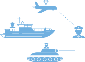


AIR
LAND
SEA
AIR
Overview
Unmanned Aerial Vehicles [UAVs] or as they are more commonly known as Drones, were once used only for military purposes. Today, UAVs have more versatile applications, and our MAP Pro technology enables an affordable and easy-to-integrate solution that facilitates aerial drone usage across rapidly expanding applications such as recreational, scientific, agricultural and commercial to name a few.
PLATFORM
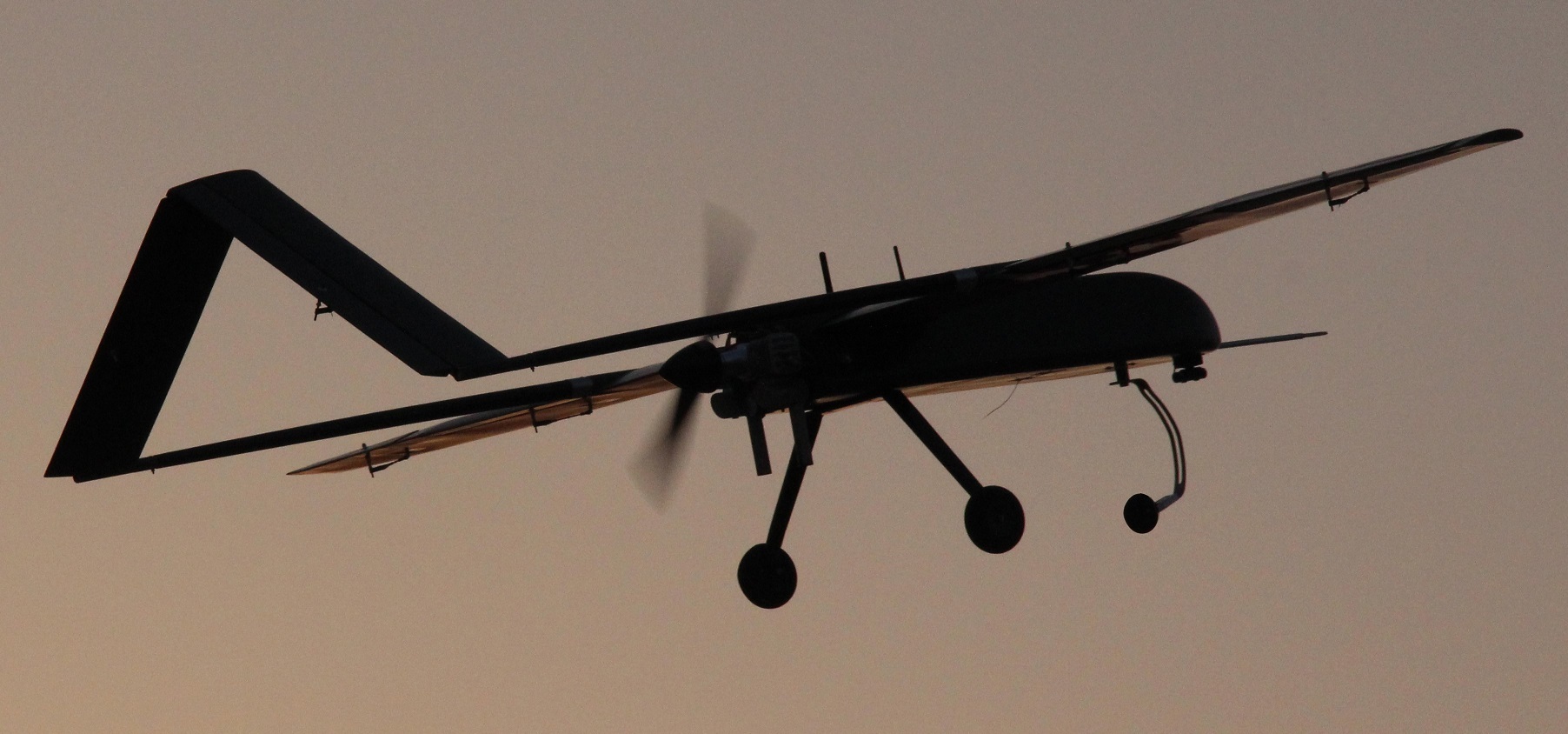
Our system is compatible with any component on any aerial platform, enabling remote and autonomous control- managing the flight, routes, sensor functionality and data collection. Platforms may perform a number of tasks such as target and decoy for gunnery simulations, reconnaissance, defensive and offensive combat, logistics, research and development, and other civil applications.
INDUSTRIES

Defense and Security
- Remote Reconnaissance and Fire Support
- Force Projection
- Communication Relay
- Electronic Warfare

Commercial
- Surveying
- Journalism/News Gathering
- Filming
- Scientific Research
- Agriculture

Emergency Response
- Urban Search and Rescue
- Firefighting
- Nuclear Response
- Ad-Hoc Telecommunications Relay
- Natural Disaster Relief Support
LAND
Overview
Unmanned Technology was developed to protect the human element from dull, dirty and dangerous scenarios. Unmanned Ground Vehicles [UGVs] were designed to roam terrain with the aforementioned factors, and are run autonomously with the human operator situated out of harm’s way at a centralized command and control station.
PLATFORM
Depending on the UGVs application, MAP Pro technology can convert any land vehicle, from a standard car to a ruggedized all-terrain vehicle, to become an autonomously operated platform. The sensor and comms packages, also managed by the MAP Pro system, are designed to suit the mission.
INDUSTRIES
Defense and Security
- Remote Reconnaissance and Fire Support
- Force Projection
- IED Mine Clearance
- Logistical Support and Resupply
- Communication Relay
- Wounded Soldier Transport
Commercial
- Airport Handling
- Warehouse Management System
- Mining Support
- Manufacturing
- Agriculture
Emergency Response
- Urban Search and Rescue
- Firefighting
- Nuclear Response
- Ad-Hoc Telecommunications Relay
- Natural Disaster Relief Support
SEA
Overview
Unmanned Surface Vessels [USVs] are boats without pilots, and are run autonomously from a ground control station. As technology advances, USV design has come a long way in coping with variables of the open sea, and today they are used extensively in survey, hydrography, mine detection, surveillance, and several naval and military applications.
PLATFORM
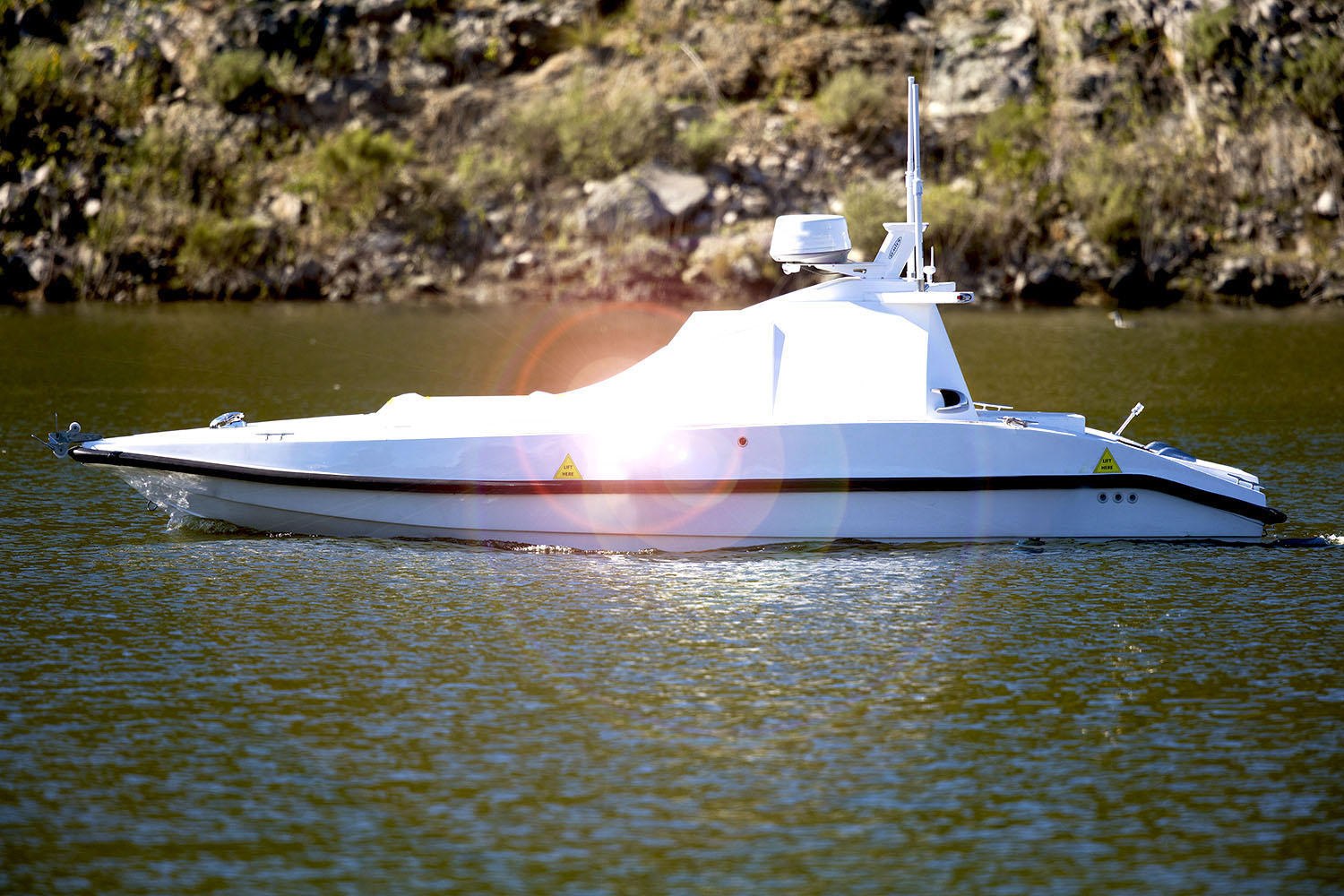
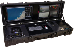
Boats and ships come in a multitude of shapes and sizes, but the components of a USV are fairly straight forward using our patented and modular MAP Pro technology: Body, Propulsion, Sensors, and Communications. Those elements may differ with context and complexity of their application, however a trained MAP Pro Operator will manage those components from a remote station as he would onboard the ship.
INDUSTRIES
Defense and Security
- Coastal Surveillance
- Sovereignty Patrol
- Counter Narcotics
- Search and Rescue
- Naval Mine Countermeasures
- Route Surveying
- Target Boats

Hydrographic Survey
- Oil and Gas Applications
- Dredging
- Shallow Water Survey
- Bathymetric Mapping
- Marine Construction
- Pipeline Monitoring
- ROV Deployment

Environment & Safety
- Oil Spill Detection
- Maritime Firefighting
- Fisheries Monitoring
- Pollution Cleanup
- Tidal Mapping
- Coral Reef Assessment
- Shipwreck Monitoring
- Autonomous Lifeboats